Airbus is making its debut at the annual NAMPO Harvest Day annual four-day trade fair this week, highlighting its latest helicopter and satellite data geo-intelligence solutions for the development of productive and sustainable farming and other agricultural practices.
Airbus Helicopters is promoting its versatile, robust, rugged and reliable single-engine H125 and H130 rotorcraft, which are reknowned for their performance and operating efficiencies in hot, dry and dusty conditions. The 5-seat H125 and 8-seat H130 are members of the Airbus Ecureuil (Squirrel) family of light utility helicopters. They are well-suited to aerial work such as crop-spraying, cargo-sling operations, powerline and game fence inspection, fire-fighting, animal census and anti-poaching missions. To date around 6,200 Ecureuil helicopters, in several variants, have been delivered to over 1,900 operators in 120 countries, including over 180 with customers in 20 sub-Saharan Africa and the Indian Ocean island nations.
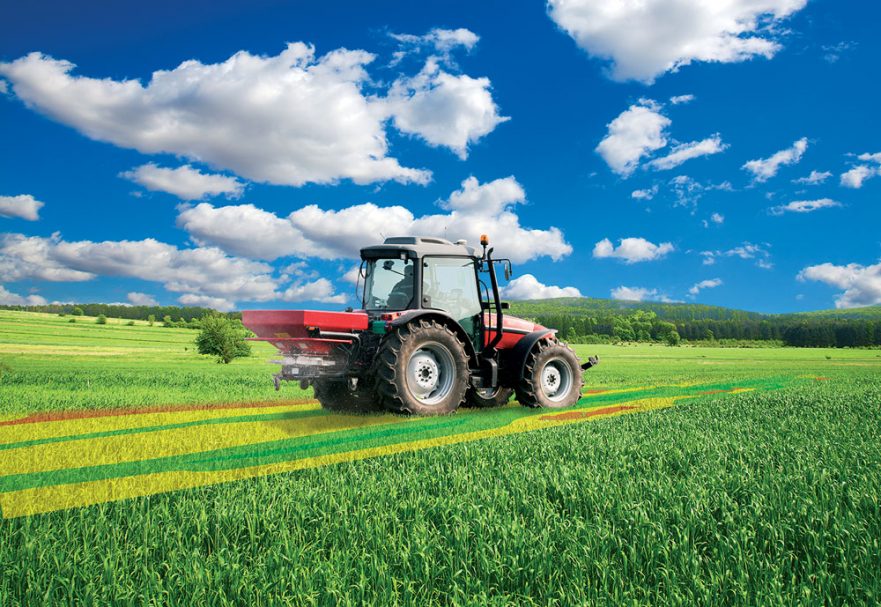
Airbus is also a leader in satellite earth observation. It operates a constellation of radar and optical satellites and for over 30 years, has shaped how imagery captured by them is used for agricultural applications. Every day, worldwide, tens of thousands of farmers rely on Airbus’ geo-intelligence and information solutions to better manage their farming activities. Typically, they provide detailed biophysical descriptions of soil properties, vegetation, foliage cover and the atmosphere
Airbus farming solutions that are available and under development include:
- Verde, which provides detailed crop analytics for precision farming, from start-ups to the largest agriculture companies.
- Farmstar, the crop monitoring and yield optimisation tool for farmers developed by Airbus Defence and Space and the Arvalis-Institut du Végétal (French Technical Institute for Cereals).
- Starling, which uses optical and radar satellite imagery to provide unbiased monitoring of deforestation.
- Grassland Production Index (GPI), a service enabling insurers to cover cattle breeders against shortages in forage yield.